
 Hrvatski
 English
Geodesy
Geodesy is a scientific and technical discipline of accurately measuring and understanding Earth's figure (geometric shape and size) and geodynamics, orientation in space and gravity. With its measurements and calculations, geodesy provides data for disciplines such as civil engineering, navigation, topography, photogrammetry, cartography, geographic information systems, etc.
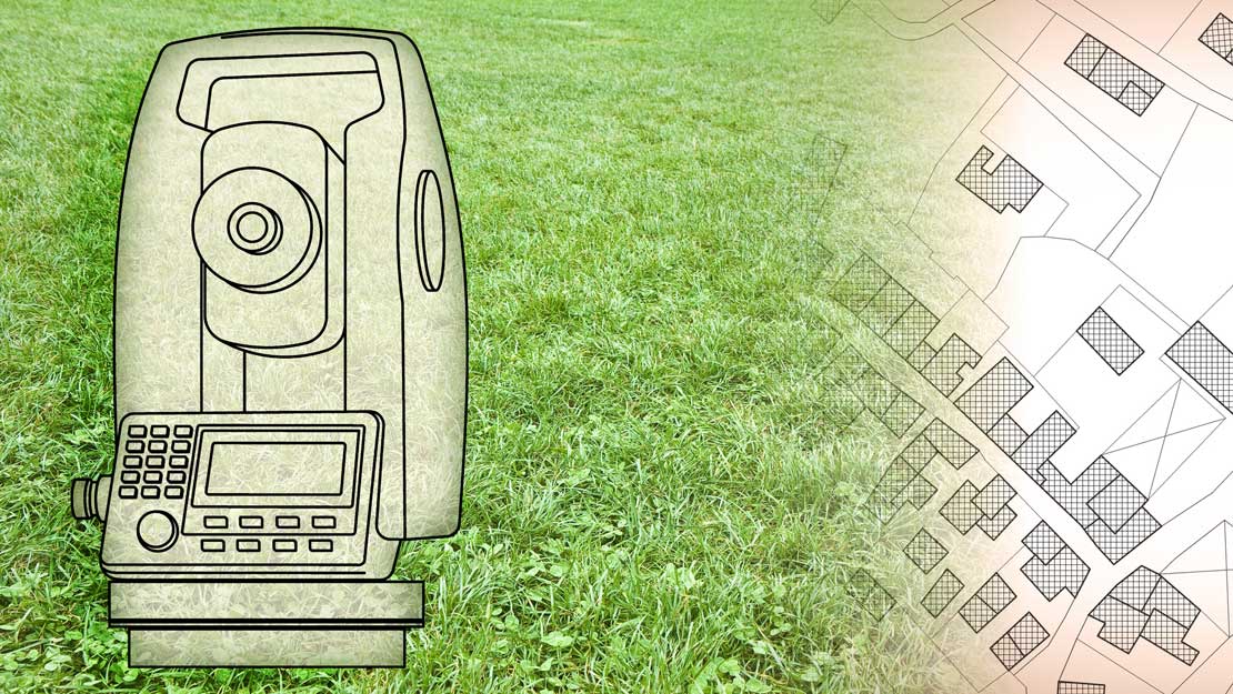
Cadastre
The Cadastre is a public registry that records data on cadastral particles, buildings and other structures that permanently lie on and below the ground, as well as data on special legal regimes on Earth’s surface.
Cadastral records are kept by the competent offices for cadastre and geodetic affairs and by the State Geodetic Administration.
In order to record changes in form, surface or construction development of the cadastral parcel, certified geodetic engineers in Geo Grupa prepare and certify geodetic studies for the purpose of harmonization of the entries in the cadastre and land registry.
Our services:
- Parcel elaboration development
- Elaboration development for the purposes of matching the land registry and cadastre
- Listing objects into the cadastres and land registries
- Listing utilities into utility cadastres
- Creation of geodetic bases for planning, i.e., architectural design support
- Spatial development
Engineering geodesy
Engineering geodesy is applied in planning and construction of the various structures.
With our highly professional employees and high-precision equipment from renowned manufacturers Leica and Trimble as well as advanced measurement and calculation methods, Geo Grupa is able to provide a wide range of services in the field of engineering geodesy.
Our services:
- Planning, positioning, and calculation of basic geodetic grid
- Stakeout and construction monitoring for all object types
- Geodetic monitoring
- Pre- and post-construction object movement monitoring
Cadastral surveying
Cadastral surveying is an extensive geodetic work which is performed in order to establish and maintain the real-estate cadastre. With our 20 years of experience in state cadastral survey projects, Geo Grupa has largely contributed to the regulation of the official records of the real-estate cadastre which is the basis for a regulated real-estate market.
Our services:
- Cadastral measuring and technical revisions of agricultural and other land
- Preparation and processing of measuring data for the purposes of making adjustments to existing cadastres and land registries
- Vectorization and geo coding of scanned maps and plans